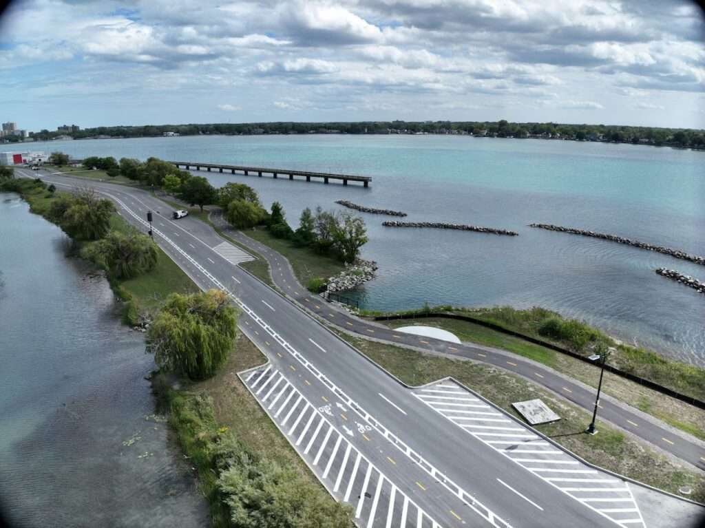
A new 5.8-mile path now loops around Belle Isle, giving walkers, runners, and cyclists a safer way to enjoy the island and connect directly to Detroit’s riverfront.
This project is part of the Iron Belle Trail, Michigan’s signature trail network and the longest state-designated trail in the country. The Iron Belle stretches more than 2,000 miles, beginning on Belle Isle and ending in Ironwood, near Michigan’s border with Wisconsin in the far western Upper Peninsula.
The Belle Isle segment is considered the southern starting point of the trail. Users can leave the island via the MacArthur Bridge, connect to the Detroit Riverwalk, and continue onto other greenways and bike lanes leading out of the city. From there, the trail follows a mix of off-road paths, paved routes, and sidewalks that wind through dozens of communities before reaching the U.P.
The Iron Belle Trail has two main routes:
• Biking Route: Uses paved trails, bike lanes, and low-traffic roads for cyclists.
• Hiking Route: Follows sidewalks, park paths, and much of the North Country National Scenic Trail in northern Michigan.
With this Belle Isle project complete, more than 70% of the entire statewide trail network is open and usable. The Detroit loop gives residents and visitors a scenic starting point for local rides, short hikes, or even multi-day adventures heading north.